• About
  • Subjects
  • Places
  • Organisations
  • Photographers
  • Contribute
  • The data
  • Contact
  • Admin sign in

Royal Air Force Lichfield 1939-1958

BrownhillsBoy on Wikimedia Commons

How to add yours

touluru on Flickr

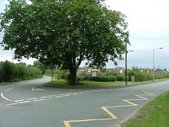
Hay End Lane (corner of Bridge Farm Lane), Fradley
Google Streetview OpenStreetMap

by Royal Air Force Lichfield Association on 15 June 2001

Colour: blue

Wikimedia:

Flickr:

Subject
Royal Air Force Lichfield
(1939-1958) military base
See also...
BrownhillsBoy on Wikimedia Commons
Fradley, United Kingdom
BrownhillsBoy on Wikimedia Commons
Fradley, United Kingdom

Open Plaques 2009-2025

Available as Open Data in .geojson, .json, and .csv format. Please consider using the datadump before crawling (and killing) our server.